
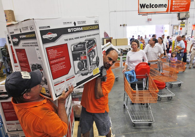
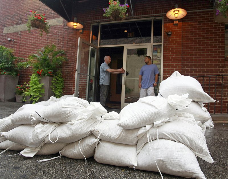
Some coastal residents always put off emergency preparations until storm clouds loom on the horizon. The National Hurricane Center is going to try giving those people a deadline this year, issuing experimental advisories showing when tropical-storm force winds may hit particular communities to help them understand when it’s too late to put up storm shutters or evacuate.
The forecasters’ advisories will be fueled by more data than ever, thanks to new weather satellites and an expanded network of underwater gliders.
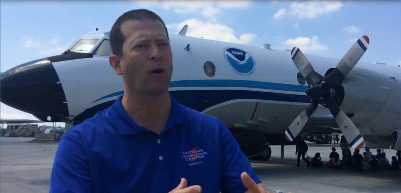
On the official start of hurricane season Thursday, Florida Gov. Rick Scott joined Homeland Security Secretary John Kelly at the Miami center to encourage residents to prepare and heed warnings.
NEW ADVISORY
To help people understand when storm preparations should be completed, the hurricane center will experiment with advisories showing the times when sustained tropical-storm-force winds are estimated to hit land. If a tropical disturbance nears shore, forecasters also could post advisories or warnings before it develops into a tropical depression or named storm.
Florida’s emergency management director, Bryan Koon, said the new advisories could help validate evacuation orders for people who complain about “hype” around approaching storms.
“We can say, ‘Listen, this is when things are going to get bad in your area,’” Koon said. “We can also use that to say, ’A few hours ahead of that, stores are going to close, roads are going to get jam-packed with people, we might have to shut down power substations.”
Storm surge watches and warnings will be issued this year when U.S. coastlines are at risk for life-threatening flooding.
___
SHRINKING CONE
The “uncertainty cone” showing a storm’s projected path shrinks again this year, with continued improvements in track forecasts. It’s still the best-known advisory released by the hurricane center, but forecasters continue to emphasize individual hazards away from the center of a storm.
On his last day as hurricane center director before returning to The Weather Channel, Rick Knabb said better data and better computer models help create a narrower cone. But that can give a false sense of security to areas outside the cone.

“Hurricane watches and warnings can extend well outside the cone. In fact, the hurricane itself can be much larger than the width of the cone,” Knabb said. “So clearly a hurricane is not just a point on the map.”
Forecasters will add an outline of a storm’s wind field to the graphic to help people see hurricane impacts beyond the cone, Knabb said.
___
INTENSITY FORECASTS
Predicting the intensity of a storm remains a challenge. Apart from improving public communications about storm hazards, the hurricane center also has been working to improve its forecasts predicting when and how much a storm will strengthen.
It’s difficult to measure what’s happening around a hurricane’s eye — where the strongest winds swirl — or how it interacts with the ocean and the atmosphere, and that affects the accuracy of storm intensity forecasts, said Dan Brown, a senior hurricane specialist at the hurricane center in Miami.
“It’s a combination of everything, but oftentimes, it’s understanding what the structure of the storm is and getting that right when the computer models are first run,” Brown said.
___
FORECASTING TECHNOLOGY
More and better data will be streaming into those models this year, which forecasters hope will help improve their predictions for a hurricane’s intensity.
NASA launched eight mini-satellites in December to measure surface winds deep in the hearts of hurricanes. Unlike other weather satellites, the $157 million Cyclone Global Navigation Satellite System can give scientists a clear look into a hurricane’s eye even through walls of clouds and rain.
Forecasters said the $1 billion GOES-16 weather satellite, launched in November, is as significant an upgrade as switching to high-definition television, with more detailed images and more channels looking at storms.
To keep up with higher resolution forecast models, the National Oceanic and Atmospheric Administration has upgraded the Doppler radar on its hurricane hunter aircraft to give scientists a more detailed look at hurricane winds.
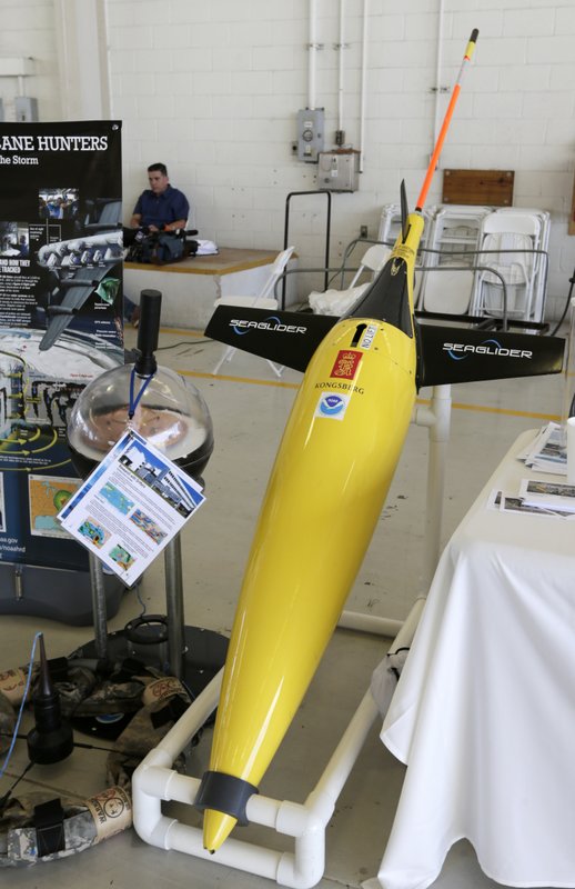
NOAA again will launch four underwater gliders from Puerto Rico and the U.S. Virgin Islands to collect ocean data, and this summer the agency will expand its data pool by collaborating with universities and research institutions in the U.S. and Bermuda that have up to 20 their own gliders in the Gulf of Mexico and the Atlantic.
Gustavo Goni, director of the physical oceanography division at NOAA’s Atlantic Oceanographic and Meteorological Laboratory, said glider data has helped improve the models’ understanding of the ocean. He added that “we want to put all these efforts together to make a better analysis.”
Republished with permission of The Associated Press.